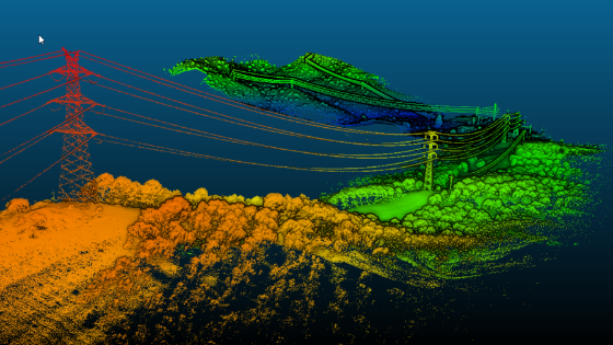
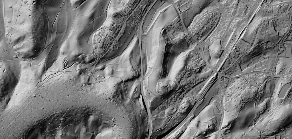
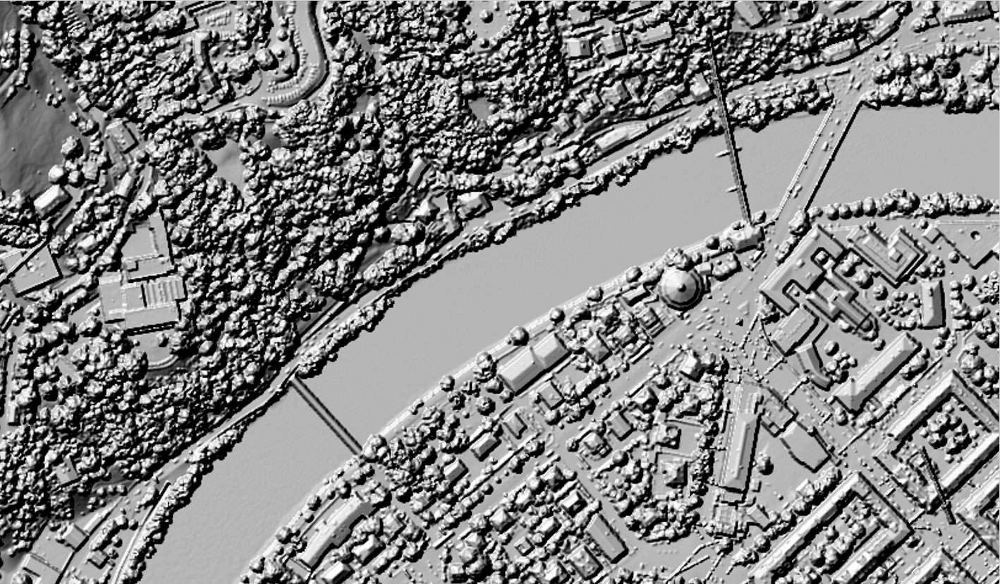
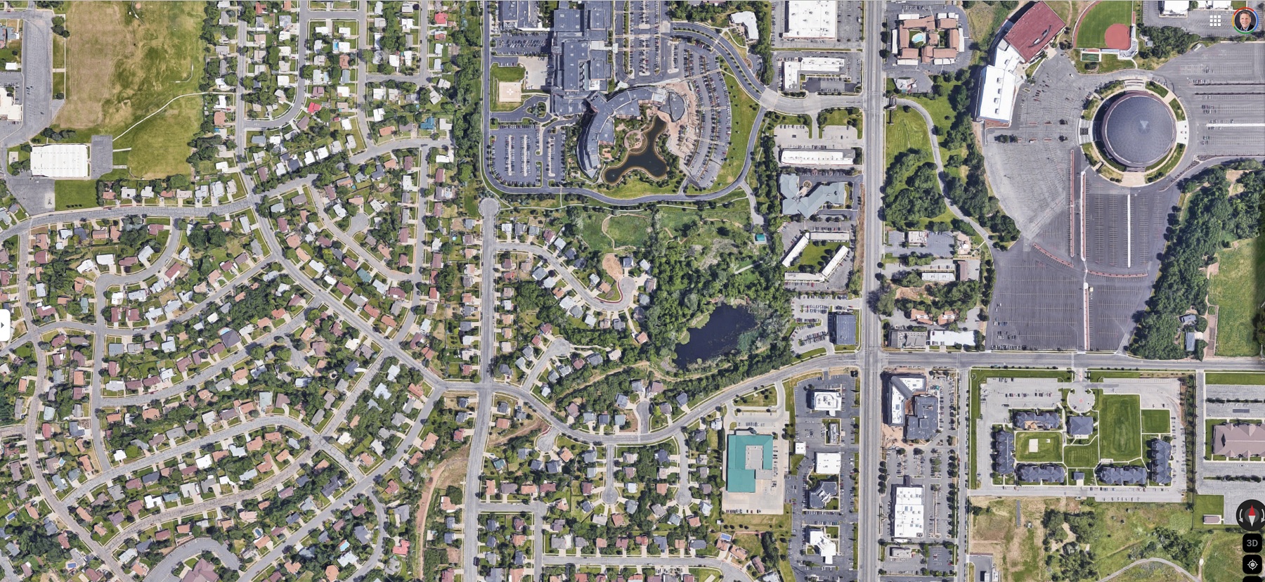
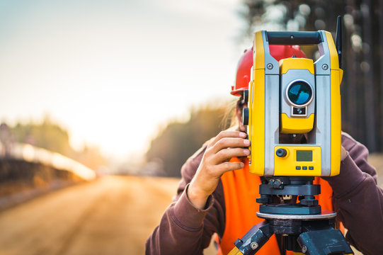
Welcome to GeoAF – your trusted partner in geodesy, photogrammetry, and drone-based solutions. We specialize in high-precision 3D models, point clouds, and topographic maps. Using the latest drone technology and advanced software tools, we deliver data you can rely on.
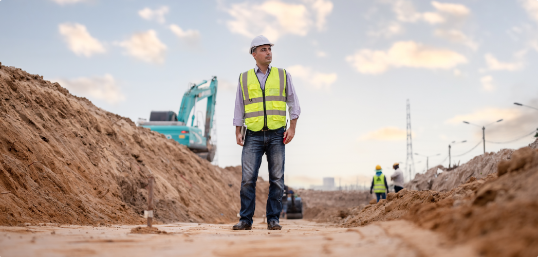
From construction and agriculture to environmental monitoring and urban planning, we provide accurate and cost-effective solutions. Our expert team ensures fast and reliable results, helping you make smarter, data-driven decisions.
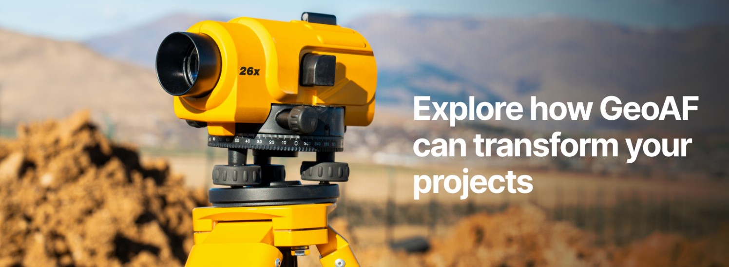
GeoAF – Soaring above the ordinary, delivering precision like never before.
At GeoAF, we deliver cutting-edge geospatial solutions tailored to your needs. Our products are designed to provide precision, efficiency, and actionable insights for a wide range of industries. Explore our offerings:
Our classified point clouds deliver precise 3D data for complex environments. Used in construction, forestry, and heritage preservation, they provide unmatched accuracy for detailed analysis.
Our high-resolution Digital Terrain Models (DTM) provide accurate representations of the bare earth surface, excluding buildings, vegetation, and other above-ground features. Ideal for topographic mapping, flood modeling, and infrastructure planning.
Digital Surface Models (DSM) capture the earth's surface, including all natural and man-made features. Perfect for urban planning, 3D visualization, and environmental monitoring.
Georeferenced and distortion-free, our orthophotos provide a true-to-scale aerial view of the terrain. Essential for mapping, land use analysis, and cadastral surveys.
Our tiled models offer seamless, high-detail 3D representations of large areas. Optimized for performance, they are ideal for GIS applications, virtual simulations, and large-scale project planning.
We combine geodetic measurements with drone technology to create accurate topographic maps and terrain models. This approach ensures precise elevation data for construction, infrastructure, and land planning.
Our solutions are applied across a wide range of industries, delivering precision and efficiency to meet your unique needs. Explore how GeoAF can transform your projects:
From site planning to progress monitoring, our geospatial solutions streamline construction processes, ensuring accuracy and efficiency at every stage.
We provide detailed inspections and monitoring for energy infrastructure, ensuring safety, reliability, and optimal performance.
Our solutions support urban development with accurate 3D models, helping planners design smarter, more sustainable cities.
From forest management to water resource monitoring, our tools provide critical insights for environmental conservation and resource management.
Have questions or need more information? Feel free to reach out to us. We're here to help!
Contact: Arbër Fazliu
Email: geo-af@hotmail.com
Phone: +43 676 3662 950 +383 48 231 227
Head Office: Ali Vitia Kalabri, Prishtinë, Kosovë
Office: Rudolf-Simon Gasse 5/38,1110 Vienna, Austria